Home
Holiday Planner
Adventure and Discovery
Discover The Wild Beauty Of The Siberian Part Of Russia By Trekking (AL-04)
Discover The Wild Beauty Of The Siberian Part Of Russia By Trekking (AL-04)
Group size
4-10 people
Season
Summer
Duration
13 days
Departs
As per schedule
Starts
Moscow
Ends
Moscow
Countries
Russia
Cities
Moscow, Barnaul, Altai
Price
Price by request
Reservation
View dates and prices
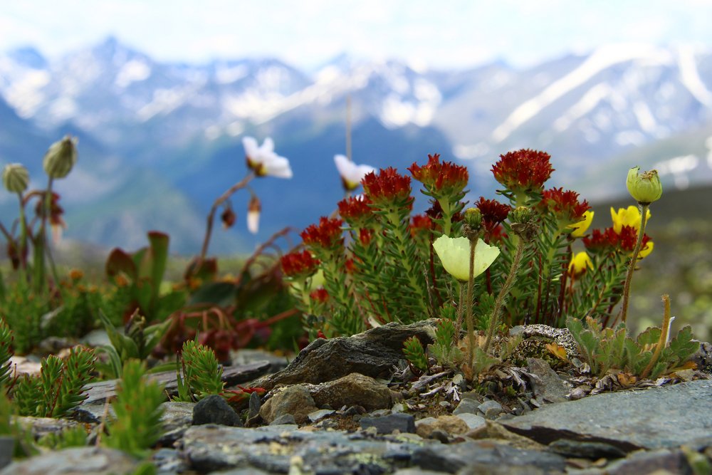
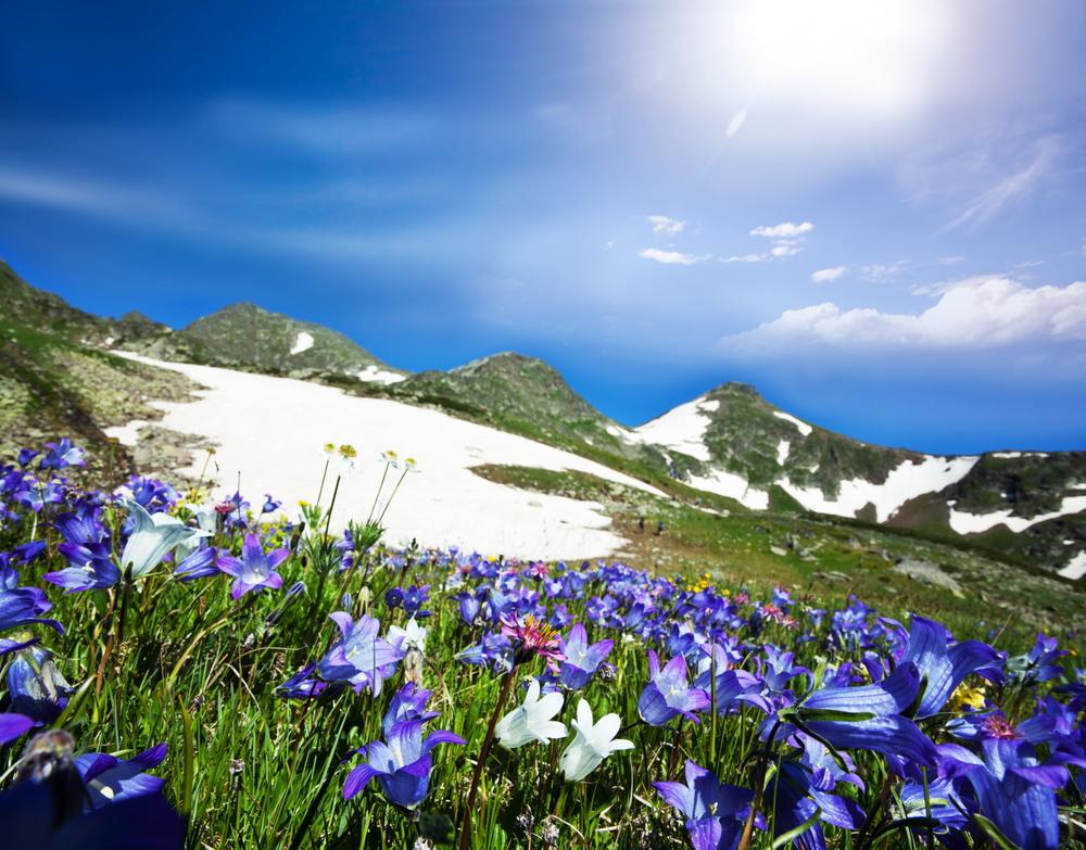
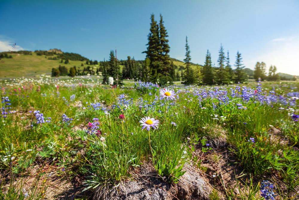
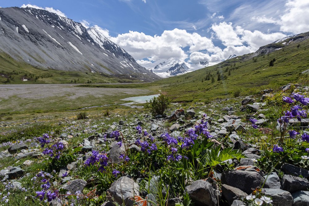
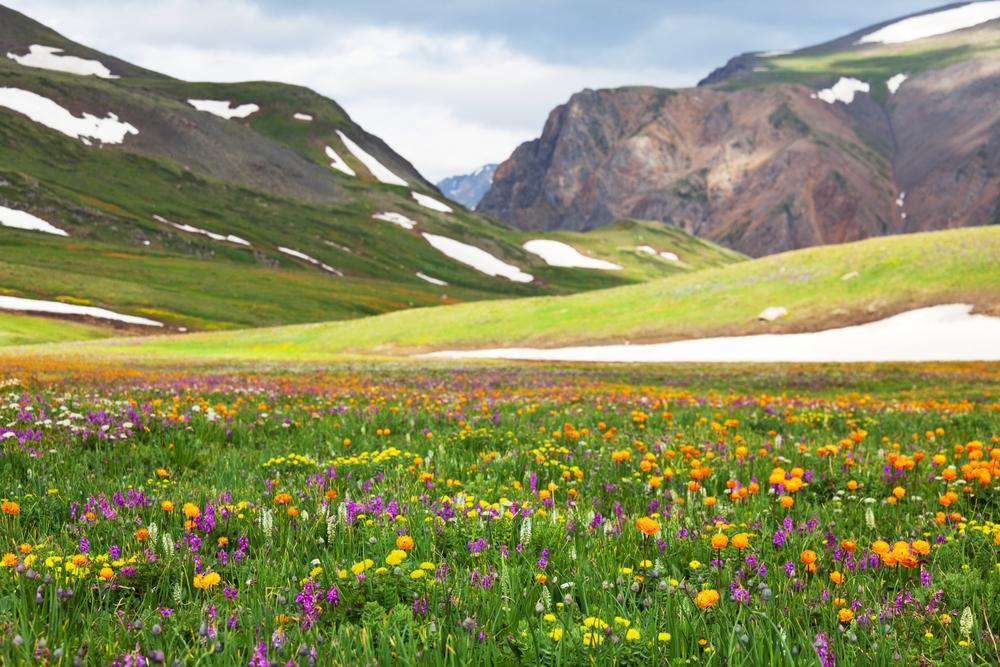
Altai, the so-called Russian Tibet or Heart of Siberia, is a unique place, ideal for active holidays! The purity of the mountain air and the crystal-clear water of numerous lakes and rivers will make your trekking in Altai unforgettable! Our route crosses the area of lake Ak-Kem, which rests at the heart of the Altai mountains. Here you will find one of the most beautiful spots for trekking in the world – breathtaking views of mountains and lakes, green forests and valleys covered with blossoming wild flowers. The delicious honey collected in this region is famous for its healing qualities.
The mystical tranquility and the local beauty gave rise to the numerous legends of Altai: about the mysterious treasures of Skifs, and Genghis Khan, part of whose army settled here exhausted after years of long raids into Europe. Located on the border of Europe and Asia, Altai holds the secrets of the many ethnic groups who have inhabited this area since the times of Egypt’s pharaohs. It is bursting with natural treasures – 5 natural phenomena in the region are on UNESCO’s World Heritage list. The land of Altai is too beautiful to miss!
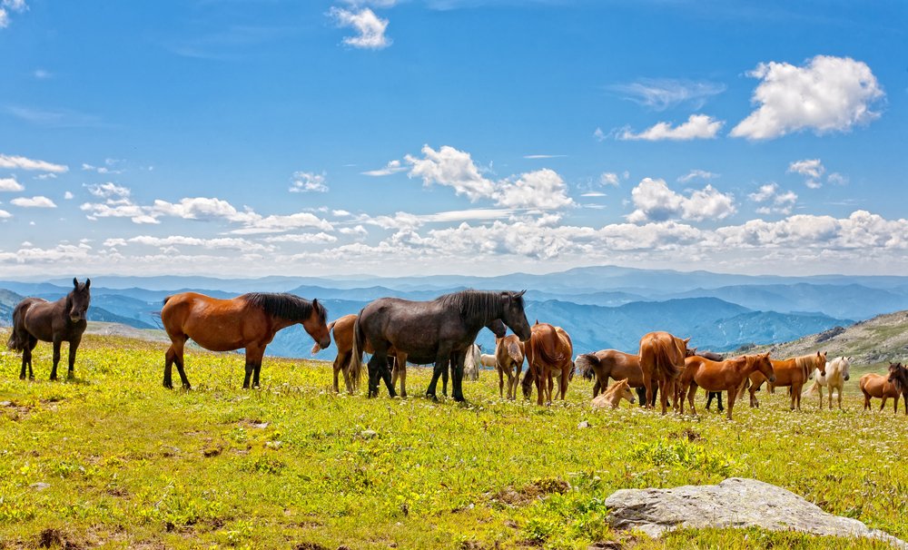
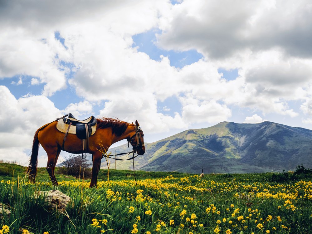
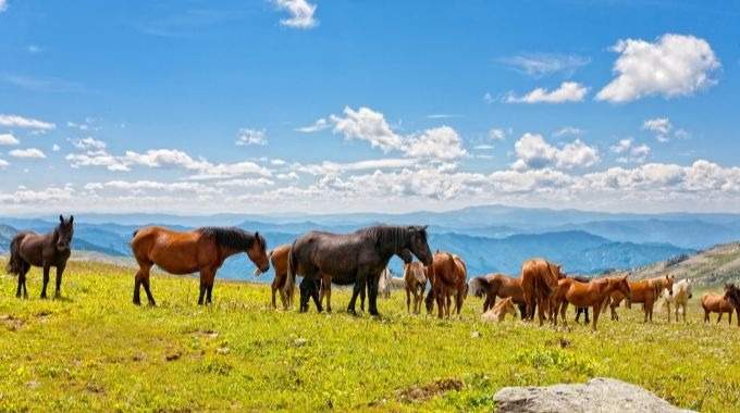
This is comfort trekking meaning you do not need to have any special skills, it is suitable for anyone in a good physical form, you need to be prepared to spend a few hours a day trekking. We have also included cargo horses to carry your personal (up to 10 kg) as well as group equipment. Accommodation is in a guesthouse at basecamps and tents while on route.
All tours to Russia are operational. Visas are being issued
Read more about cancellation policy in light of the Ukraine conflict
Moscow
Day 1
Transfer from the airport to the hotel
Arrival in Moscow. Our driver will meet you in the arrival sector with a Go Russia sign board. Transfer to the hotel.
Moscow
Day 2
Moscow City Centre Walking Tour
Transfer from the hotel to the airport
During the tour we will walk around major cultural and historical points in Moscow. We will visit the Red Square and take a stroll along the nearby pedestrian zone. In the afternoon you will be transferred to the airport for your overnight flight to Barnaul
Domestic flight: Moscow - Barnaul
Day 2
Flight to Barnaul: Moscow - Barnaul
Barnaul / Altai
 Basecamp Vysotnik,
TiungurBase camp Vysotnik is situated on a picturesque bank of the Katun River in a forest area with birches, cedars and larch trees, near the village of Tiungur, 750 km by car from Barnaul. There is a three-storied wooden guest house, two-storied wooden tourist shelter, café, banya (Russian sauna), parking zone, camping place, storage room, volleyball and badminton grounds, outdoor facilities: wash-stands and lavatories.
 Tents while trekking in Altai,
Altai While in Altai your accommodation will be in tents. We normally use Red-Fox, Talberg or Husky tents. The tents are mosquito proof, they offer a large entrance, comfortable tent height, ridge ventilation and are very quick and easy to pitch and take down. If you are a single traveller, you will get your own tent and will not have to share with others.
Day 3
Arrival at the base camp “Vysotnik”. “Welcome” dinner
Overnight in a guesthouse
Transfer by bus to the base camp “Vysotnik”. We travel by coach from the airport to the base camp “Vysotnik”, situated in a picturesque place. There are no highways on most of the territory of the Altai, therefore we have to use ordinary roads through the mountains. Trip time depends on the arrival city: from Barnaul - 750 km, about 13 hours; from Biysk - 650 km, about 11 hours; from Gorno-Altaysk - 500 km, about 8 hours.
On arrival, a “welcome” dinner will help you to relax after this long journey. Accommodation at the Vysotnik camp (850 m) in 2-bed rooms, facilities on the floors. Acquaintance with the guide, checking personal equipment, safety briefing.
On arrival, a “welcome” dinner will help you to relax after this long journey. Accommodation at the Vysotnik camp (850 m) in 2-bed rooms, facilities on the floors. Acquaintance with the guide, checking personal equipment, safety briefing.
Altai
Day 4
Base camp - rafting down the Katun river - the mouth of the Akkem river - Oroktoy brook (1,223 m)
Daily route of approx. 2-3 hours, 8 km, ascent 396 m
Overnight in tents
Breakfast at the cafe. Packing and loading personal and group equipment onto cargo horses. Rafting from base camp Vysotnik along the river Katun to the mouth of the river Akkem (18 km, 1.5-2 hours). Lunch. Trekking up the valley of the river Akkem to the camping site at Oroktoy brook.
Altai
Day 5
Oroktoi brook (1,223 m) - Tukhman brook (2,284 m)
Daily route of approx. 5-7 hours, 11 km, ascent 1,224 m
Overnight in tents
One of the most difficult trekking days. We continue ascending along the Oroktoi brook to the Tukhman brook. We will observe how the panorama and the vegetation changes from the taiga - deep Siberian forest - to high alpine meadows. Overnight at a picturesque place with a great view of Belukha, the highest mountain in Siberia, and surrounding peaks.
Altai
Day 6
Tukhman brook (2,284 m) - camp site on the shore of lake Kulduairy (2,161 m)
Daily route of approx. 6-8 hours, 15 km, ascent 334 m, descent 438 m
Overnight in tents
This day could be called a walk under the clouds. We will follow a trail until the final moderate descent to our camp site on the shore of lake Kulduairy. We may even catch sight of a hare or a deer along the way.
Altai
Day 7
Lake Kulduairy (2,161 m) - Tekeliu river (1,852 m)
Optional hike to see the highest waterfall of Altai - the Tekeliu waterfall
Daily route of approx. 4-5 hours, 6 km, ascent 233 m, descent 544 m
Overnight in tents
We have a short distance to walk today - just a moderate ascent and we find ourselves at a plateau with a panoramic view of the Katunskii range with its strangely shaped cliffs. After a short but steep descent, we reach our campsite on the banks of the Tekeliu river. In the afternoon we have an optional hike upstream along the river to see the highest waterfall of Altai - the Tekeliu waterfall (2 km, 1 hour).
Altai
Day 8
River Tekeliu (1,852 m) - Sarybel pass ascend (2,300 m) - base camp Ak-Kem (1,982 m)
Daily route of approx. 6-8 hours, 14 km, ascent 532 m, descent 453 m
Overnight in a guesthouse
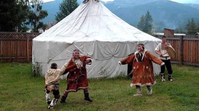
We cross the river Tekeliu and start ascending the Sarybel pass. Tekeliu in the Altaic language means "a place where mountain goats live" and we may indeed see some goats here if we are lucky. You will never forget the special moment of discovering the beauty of lake Ak-kem for the first time. Walking across the Ak-kem river, we will cross a shaky bridge, and in a half an hour we'll reach our base camp. There is a canteen, a Russian banya and a traditional Altai building - Ail (a type of wooden yurt) there. This camp offers you breath-taking views over the huge snowy majestic Mount Belukha.
Altai
Day 9
Radial day hikes at the foot of Belukha
Overnight in a guesthouse
We are offering 5 radial day treks depending on weather and physical condition of the participants. Options are agreed with the guide.
Trekking to the Jarlu Valley (Edelweiss Valley), 2,264 m above sea level
The river valley attracts with its natural beauty and spiritual strength. Rocks, containing various minerals, shimmering from silvery to purple colours, give the valley a unique colour. In the upper reaches of the valley there is a picturesque place called "Stone City" - a place of pilgrimage for the followers of Roerich. Many people notice that this place has great energetic power.
Daily route of approx. 3-4 hours, 6 km, ascent 284 m, descent 284 m
Trekking to the valley of the Seven Lakes, 2,600 m above sea level
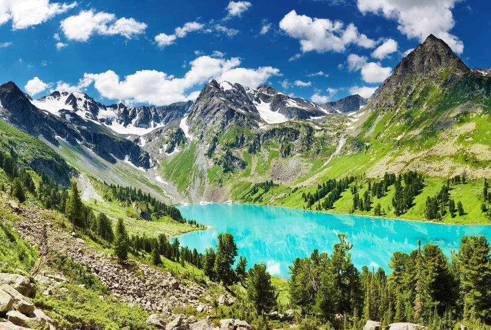
Walking along the shore of Lake Akkem and then a steep ascent to the left side of the lake valley. On the way up, the Ak-Oyuk river stretches like a silvery thread through seven lakes of different colours and shapes. A panorama of a new lake opens up around every turn. The colours range from emerald to grey and pale blue.
Daily route of approx. 4-5 hours, 12 km, ascent 679 m, descent 679 m
Trekking to the "Mountain Spirits" lake, 2,500 m above sea level
Trekking along the left bank of the Akkem Lake. Crossing the bridge of the Ak-Oyuk stream, which ends in a powerful waterfall from the ledge of the valley. Continue trekking on the left bank along the swampy floodplain of the river Akkem, cross the bridge over the river Akkem to the right bank. Climbing the moraine rampart and moving among the stones (the path is lost) to the site of the former chapel. To the left of this place, the ascent begins along the path, alternating with talus, to the valley of the Kara-Oyuk stream. The valley is distinguished by its dark colour of rocks, sparse vegetation, which makes it the complete opposite of the neighbouring Ak-Oyuk valley. In the upper reaches of the valley, there is a lake of "Mountain Spirits" with an emerald tint of water. On hot days, it is pleasant to swim in the lake thanks to the rocky ledges along the banks. The eponymous peak Kara-Oyuk (3,852 m) rises above the lake.
Daily route of approx. 5-6 hours, 14 km, ascent 518 m, descent 518 m
Trekking to the Akkem glacier
Trekking to the place of the former chapel. Continue walking along the lateral moraine (the trail is lost) on the right side of the former upper Akkem lake, descent from the moraine wall and ascent up the valley to the beginning of the Akkem glacier. The edge of the glacier is a huge ice grotto, which is the source of the river Akkem.
Daily route of approx. 4-6 hours, 12 km, ascent 250 m, descent 250 m
The Karatiurek Pass Ascend (3,060 m)
Trekking to the meteorological station on Lake Akkem, after which the ascent begins along the left side of the valley to the Karatyurek pass - the highest horse pass in Russia. One of the most breathtaking views of the Belukha massif opens from the top of the pass.
Daily route of approx. 5-6 hours, 12 km, ascent 1,080 m, descent 1,080 m
Altai
Day 10
Radial day hikes at the foot of Belukha
Overnight in a guesthouse
Optional trekking as above. During all radial treks, breakfasts and dinners are served in a cafe in the base camp, lunch pack on the route.
Altai
Day 11
Descent base camp Akkem - meadow ”Three birches” -base camp Vysotnik
Daily route of approx. 6-8 hours, 22 km, descent 1,000 m
Overnight in a guesthouse
We start our descent along the valley of the river Akkem. From the meadow “Three birches” we will take a military 4WD truck and transfer through the Kuzuyak pass (1,500 m) to the camp site Vysotnik (15,5 km, 2-3 hours). Our last opportunity to experience a Russian banya (sauna, optional) during the tour. Farewell dinner..
Altai / Barnaul
Day 12
Transfer from camp Vysotnik.
Barnaul / Moscow
Day 13
Transfer from the hotel to the airport
Our driver will meet you in the hotel lobby. Transfer to the airport for your flight back home.
Dates and prices
Please read notes at the bottom of the table to learn more about the meaning of each pricing section
Prices and dates upon request, please contact us for more information.
Alternative Tours
These itineraries are designed to give you some suggestions for what is possible when you travel in Russia
